Hurricane Erin has weakened from a Category 5 to a Category 3 storm, but forecasters warn it is still dangerous. With winds of 125 mph, the storm is moving northwest and is expected to turn northward while growing larger and remaining powerful through midweek.
Erin’s impact extends far from its center, with hurricane-force winds stretching 50 miles and tropical-storm-force winds reaching over 200 miles. Heavy rain is already falling in Puerto Rico, and the Turks and Caicos and eastern Bahamas could see up to six inches, raising the risk of flooding and landslides. Dangerous swells are spreading across the Caribbean and will soon reach Bermuda, the U.S. East Coast, and Atlantic Canada, creating hazardous surf and rip currents.
Although not forecast to make landfall in the U.S., Erin’s size means widespread coastal effects. North Carolina and Virginia face the greatest risks, and if the storm shifts westward, areas like the Outer Banks, Long Island, and Cape Cod could be hit harder. The Tri-State area may also see coastal impacts midweek.
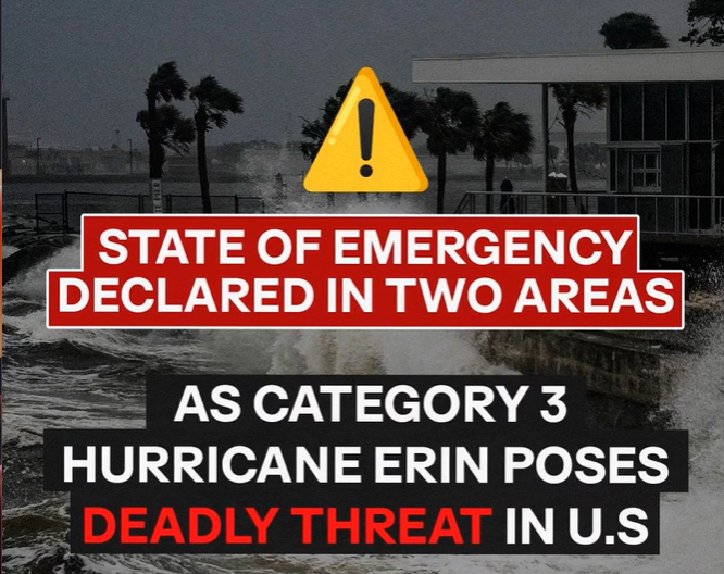
North Carolina counties have already declared states of emergency. Dare County ordered evacuations for Hatteras Island, and Hyde County did the same for Ocracoke, warning of 20-foot waves that could flood roads and cut off emergency services.Officials stress preparation: follow evacuation orders, keep supplies ready, fuel vehicles, and stay updated. While Erin may not strike directly, its size and power guarantee rough seas, flooding, and dangerous conditions across much of the Atlantic and East Coast.